Rt. 18
In chatting with local residents
… during my time as Artist in Residence at the New Bedford National Whaling Historical Park, I heard many personal stories connected to the downtown and the adjoining neighborhoods. and although the city’s nautical past and present loom large in the narrative, I was drawn to more recent and terrestrial tales
I was moved by the stories I heard.
They were specific to that city, yet familiar to any city that affected by urban renewal and highway construction that recklessly or intentionally targeted poor and minority populations. As a visitor with limited time in the city, I was overwhelmed by the number of stories that were not mine to tell.
With my thoughts returning to the highway
… that I drove in on every day,
I started to understand
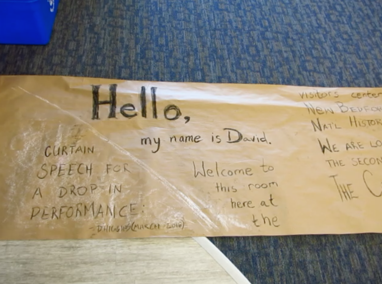
The opening of the printed script as displayed at the open house performance
a performance that would tell the story of that road and the stories of what had been buried under that road.
A story that I could tell.

I story that, if not mine per se, was at least out in the open. Route 18 was a monument of steel and concrete dedicated to automotive progress and human displacement. And, although the living and habitable evidence that was leveled or moved to make way for this behemoth was not on proud display, the public records from that time retained a record of was had once been there.
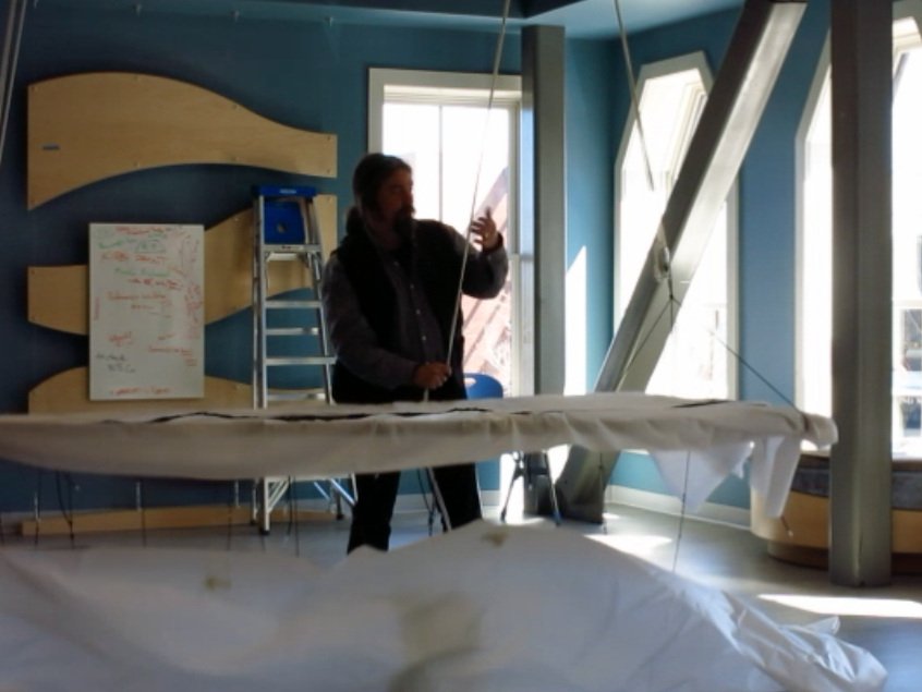
The eventual performance / installation used knots to tell stories,

I used them in a manner inspired by quipus. Each string was color coded to a building type, such as commercial, residential, mixed use, or public.
Different types of knots were tied while telling the narrative of a certain building. Using public records, I recounted four major data points for each building
Condition
Number of Utilities servicing the building (water, sewer, electricity, gas)
Square footage
“Fair Market” value the owner received
… making a knotted record of a specific address,

The string was attached to the location on the knitted highway where that particular building had existed. And after sharing that particular street name and number with the audience, the string was then “buried” under the highway by pushing it through the knitted stitches of my Rt. 18 model.
embedding that record into the Rt. 18 model

After burying the the knotted representation of the building under the highway, the entire road bed was hoisted to reveal the strings of addresses that had already been recorded.
along with a record of the people that had once lived at that address.

The story was then continued below the handknit road surface where the process was continued with strings to narrate information about the people who had occupied that building with knotted data regarding number of people, racial identity and final destination of the displaced inhabitants, such as:
Other private housing in New Bedford
Public Housing in New Bedford
Moved out of city
Unknown
The road was then returned to its starting position,
ready for the story of the next address was that was erased.